


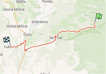

4.5 km | 5.6 km-effort

Tous les sentiers balisés d’Europe GUIDE+


FREE GPS app for hiking
 SityTrail
IGN / Geographical institutes
SityTrail World
The world is yours!
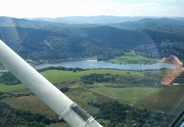
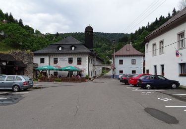
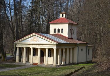
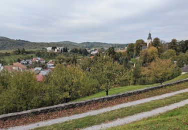
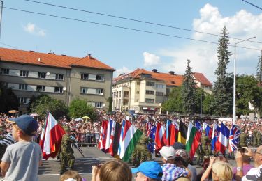
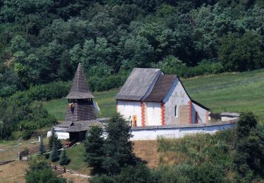
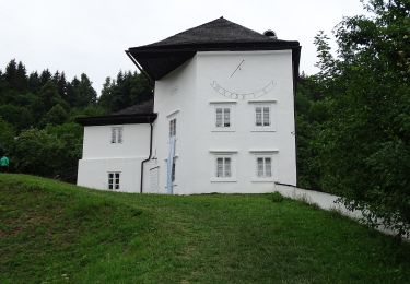
Trail On foot of 21 km to be discovered at Region of Banská Bystrica, Unknown, District of Banská Bystrica. This trail is proposed by SityTrail - itinéraires balisés pédestres.
Trail created by KST.
Symbol: local


On foot
On foot
On foot
On foot
On foot
On foot
On foot
On foot
On foot